What Is a Snow Squall and Why Can It Be Dangerous?
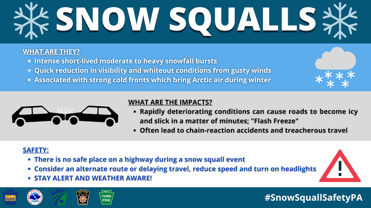
A snow squall is a short, intense burst of snow that can transform local conditions within minutes. Unlike a long-duration snowstorm, it often arrives quickly, moves through an area rapidly, and produces a sharp combination of heavy snow, gusty winds, and suddenly reduced visibility. The total snowfall may not be especially deep, yet the speed of the change creates the real concern. Understanding how these events develop makes it easier to recognize why travel, outdoor activity, and household preparation require a different approach from an ordinary snowy day.

Understand Why Conditions Can Change So Quickly
A Short Event Can Still Produce Intense Snow
Snow squalls form when the atmosphere supports a concentrated burst of snow rather than hours of steady precipitation. Cold air, sufficient moisture, and atmospheric instability can produce narrow bands of strong snowfall that move rapidly across a region. The event may last only tens of minutes at one location, although its exact duration varies. That short lifespan can make the weather seem deceptively manageable before the band arrives. The key characteristic is intensity over a compressed period. A snow squall can rapidly cover previously visible surfaces, combine falling and blowing snow, and create a very different environment before people have much time to adjust their plans.
Visibility Can Collapse Faster Than Expected
Rapidly falling snow fills the air with countless particles that scatter light and obscure distant objects. Wind can add previously fallen snow to the air, making the visual effect even stronger. A road that looked clear moments earlier can suddenly become difficult to read. Lane markings, vehicles, intersections, and roadside reference points may all become harder to distinguish. Daylight does not automatically solve the problem because dense snow itself limits the distance a person can see. This is one reason squalls demand attention even when forecasts show only modest total accumulation. For drivers especially, the rate at which visibility changes can matter more immediately than the final number of inches left on the ground.
Road Grip Can Change at the Same Time
Visibility is only part of the rapid transition. Intense snowfall can coat pavement quickly, while cold surfaces can support slippery conditions. That means drivers may encounter two changes almost simultaneously: they can see less of the road while having less grip available for braking and steering. The combination can sharply alter the distance and time needed to respond to traffic ahead. Snow accumulation does not need to become deep before this happens. A thin fresh layer can change the character of a road within a short stretch. This explains why a fast-moving snow event can disrupt travel out of proportion to its duration and why changing travel plans early can be more practical than reacting after conditions have already deteriorated.
Prepare for Effects Beyond the Road
Strong Gusts Can Affect the Wider Area
Snow squalls often involve gusty winds as the weather band passes. Around a home, wind can move loose outdoor items, drive snow into exposed areas, and reduce visibility on nearby streets and walkways. Winter weather can also coincide with interruptions to normal household services, so preparation should extend beyond driving decisions. Charge phones, know where flashlights and essential supplies are stored, and consider what household functions would matter if electricity became temporarily unavailable. This is a different planning angle from preparing for a long snowstorm. A squall may pass quickly, but readiness matters because the transition can happen quickly as well. Simple preparations made earlier allow people to remain indoors while the most intense conditions move through.
Backup Power Can Keep Home Routines Stable
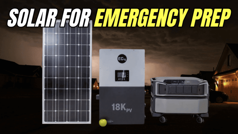
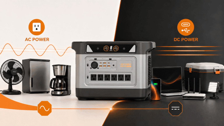
Households that experience winter outages may also plan for continuity of refrigeration, communications, lighting, heating-related equipment, or other electrical needs. A whole-home battery is one way to create that reserve. The Anker SOLIX E10 Whole-Home Backup provides 7.6 kW of continuous output from one unit and 10 kW of turbo output for up to 90 minutes. Battery capacity ranges from 6 kWh to 30 kWh per unit and can expand to 90 kWh across three units with Power Dock. Its backup activates in 20 milliseconds or less. Those specifications are most useful when matched to a household plan developed before winter weather arrives, rather than treated as something to work out during the event itself.

Winter Readiness Should Cover More Than One Weather Event
A useful winter plan should work across squalls, heavier snowfall, cold spells, and other conditions that can affect normal routines. Keep emergency supplies in consistent locations, review household communication plans, and decide which electrical functions deserve priority if grid service stops. E10 is specified for operation from -4°F to 131°F (-20°C to 55°C), which provides a clear operating-temperature reference for system planning. It can also accept up to 9 kW of solar input per unit through dual 30V–450V MPPTs, expanding to 27 kW across three units with Power Dock. The system can additionally combine battery storage with Smart Generator charging, giving households multiple energy sources to incorporate into broader preparedness planning.
Conclusion
A snow squall deserves attention because intensity and speed matter more than duration alone. Concentrated snowfall can reduce visibility rapidly, fresh snow can change road grip, and gusty winds can affect conditions around the home at the same time. The most useful response begins before the band arrives: adjust travel plans, bring outdoor tasks forward, keep essential supplies accessible, and prepare household energy needs for possible disruption. Understanding the event as a rapid transition makes its risks easier to recognize and winter preparation easier to organize.